Specifications:
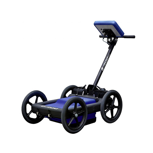
- Frequency Range: Typically between 100 MHz and 3 GHz.
- Penetration Depth: Varies from a few centimeters to several meters, depending on the frequency and material properties.
- Resolution: Higher frequencies provide better resolution but shallower penetration.
- Data Output: Real-time imaging with data storage for later analysis.
- Power Supply: Battery-operated with rechargeable options available.
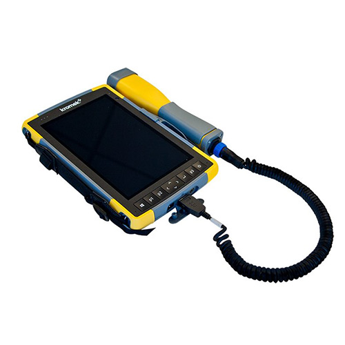
- Display: Digital screen for real-time data visualization.
- Data Storage: Internal memory or external storage options such as USB or SD cards.
Features:
- Non-Destructive: Allows for subsurface investigation without digging or drilling.
- High Resolution: Capable of detecting small objects and fine details.
- Real-Time Imaging: Provides immediate feedback for on-site decision-making.
- Portability: Lightweight and easy to transport to various field locations.
- Versatility: Applicable in diverse environments and for various purposes.
- User-Friendly Interface: Simple controls and intuitive software for ease of use.
- Data Export: Ability to export data for detailed analysis using specialized software.
Applications:
- Archaeology: Locating and mapping archaeological sites and artifacts without excavation.
- Geology: Studying soil layers, rock formations, and groundwater.
- Environmental Studies: Detecting underground storage tanks, contamination, and waste disposal sites.
- Construction: Locating utilities, rebar, and voids before drilling or excavation.
- Forensics: Investigating crime scenes and locating buried evidence.
- Mining: Mapping ore bodies and determining mining hazards.
- Transportation: Inspecting roads, bridges, and other infrastructure for subsurface anomalies.
- Utility Detection: Mapping buried pipelines, cables, and conduits.


